Joseph Zeitlin 2/3/2025 hist 390-003
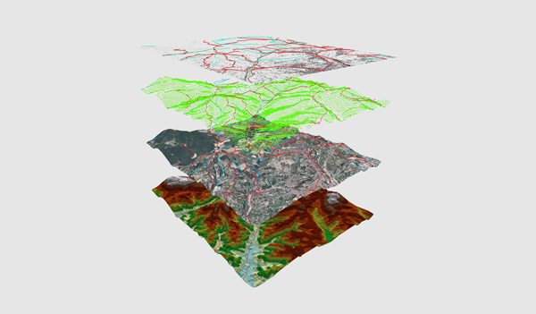
When doing research about the Holocaust, many people know about the wide spread facilities and the mass genocide that was conducted. Places like Auschwitz are well know for the killings that took place there from the stories of Holocaust survivors. But, after 60 years, many are still trying to study the effects of the Holocaust and one of the ways that modern historians are studying the Holocaust is with GIS mapping.
Anne Kelly Knowles, professor in the University has spent 16 years researching the Holocaust by putting maps and charts together and getting the personal accounts of 1,000 victims of the Holocaust. She has been collecting data from 2,200 camps and ghettos in eastern Europe and with this data, she and her colleagues have been producing a map of all the locations of the camps while trying to research the conditions that people had to face. GIS tools have been massive in helping contribute to their research as the mapping helped reveal parts of the ghetto and camps that have been altered over the years. Images produced by GIS mapping could also be compared to older charts and maps. “It also enables comparisons between places, regions, and nations that would be impossible to do by hand.” GIS mapping has allowed Knowles to make progress in her research that she wouldn’t have been able to do so.

Black dots are ghettos surrounded by walls Maps generated by Maja Kruse, UMaine Interdisciplinary Ph.D. student.
Knowles had mentioned that “Different parts of the brain are activated when people look at maps than when they read or solve a mathematical problem.” The GIS maps along with her other works helped answer some questions while raising more about the nature of these camps and ghettos. Knowles has stated that her goal isn’t to research camps but to encourage others to get into the field and to think about these experiences in a different way.
One of the issues that have come with using GIS maps has been trying to link them to the stories said by those that have survived. This is one of the biggest issues that Knowles has been having in her studies. However, she hopes to encourage computer scientists to create a model of these camps to help work towards a larger scale GIS mapping linguistic projects.
GIS mapping has helped contribute to the study of the Holocaust by being another tool that researchers can use to study the effects. It allows researchers such as Knowles to more accurately map out camps and ghettos that she and her team wouldn’t be able to do by hand and the data and maps produced allows them to compare it to older maps and those that survived the Holocaust to learn more about how these camps operated with the end goal to figure out the difference between those that caused the Holocaust and those that were victims of the genocide.
Bringing new understanding to the Holocaust through digital humanities research. University of Maine. February 27, 2024. https://umaine.edu/research/2024/02/27/bringing-new-understanding-to-the-holocaust-through-digital-humanities-research. Accessed February 3, 2025.